The problem
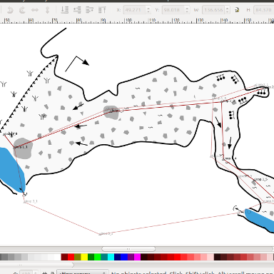
This is a real nightmare of everyone working on cave maps in a drawing program: suppose you made a neatly map... and then closed a surveying loop through another passage. And of course it is off by a couple of meters.
Of course, there is great software to handle loop closures and neatly determine the most appropriate positions of your surveying stations. But now your drawing is wrong and perhaps you regret not using Therion in the first place...
With Caveink, there is some hope.
Preparations
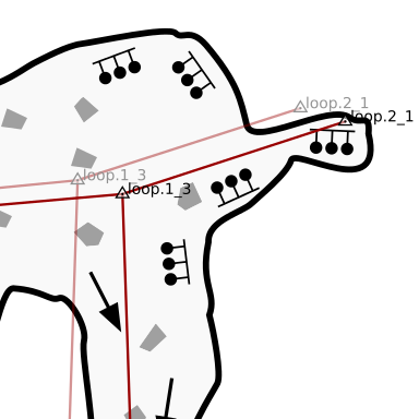
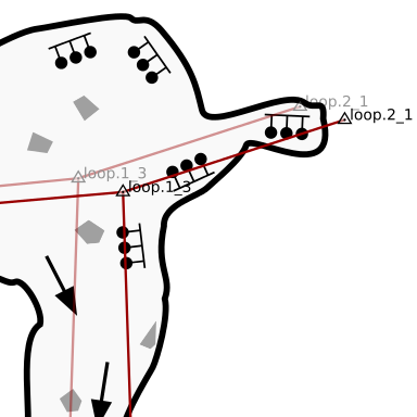
You need to have two centerlines imported in your drawing (see tutorial on paper sketches). They have to be put in separate layers.
One of them contains the original survey data - the one the drawing is already referenced to. The second one is the new one, the one the drawing should be morphed to.
Layers
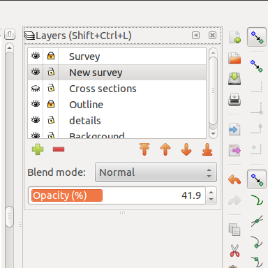
Carefully tend to the Layers dialog. Make all layers you do not want morphed invisible (for example, hide any layers containing cross-sections or a drawing legend). Select the layer that contains the new centerline as the active layer.
Running the extension
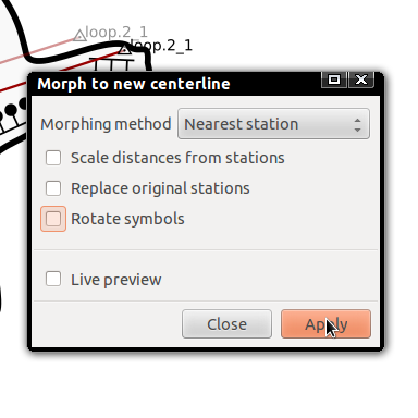
Select Extensions / Speleo / Morph to new centerline. Select Nearest station as the Morphing method. Uncheck all the checkboxes. Click Apply.
Voila!
Your drawing should now be aligned with the new centerline.
This trick works by referring every single point on your drawing (eg. symbol positions, path nodes etc.) to the nearest station on the old centerline and then moving it exactly the offset this station has moved between old and new centerline.
If that nearest station is not present in the target centerline, that particular point is left in place.
It is in fact very simple - and thus, while this feature is very helpful, you should not expect miracles in complex cases.